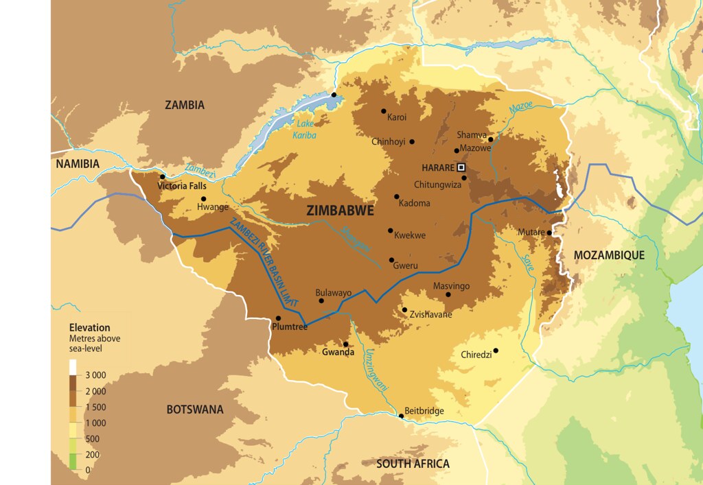
Map of Zimbabwe
Total Area of Country: 390 759 sq km Portion of Country within Zambezi Basin: 215 800 (55.2%) National Population in 2010: 13.5 million Portion of National Population within Zambezi Basin: 9 059 850 (67.11%) Zimbabwe is located between the Zambezi and Limpopo rivers, situated primarily on a high plateau that stretches across most of the country and has a subtropical climate tempered by the altitude. Savannah is the dominant ecosystem, with montane forest in the eastern highlands. The economy is based primarily on agriculture, as well as mining and tourism. Together with Zambia, Zimbabwe is home to the Victoria Falls along the course of the Zambezi River. Victoria Falls is protected as a UNESCO world heritage site.
Year: 2013
From collection: Zambezi River Basin - Atlas of the changing Environment
Cartographer: This