Map of Tanzania
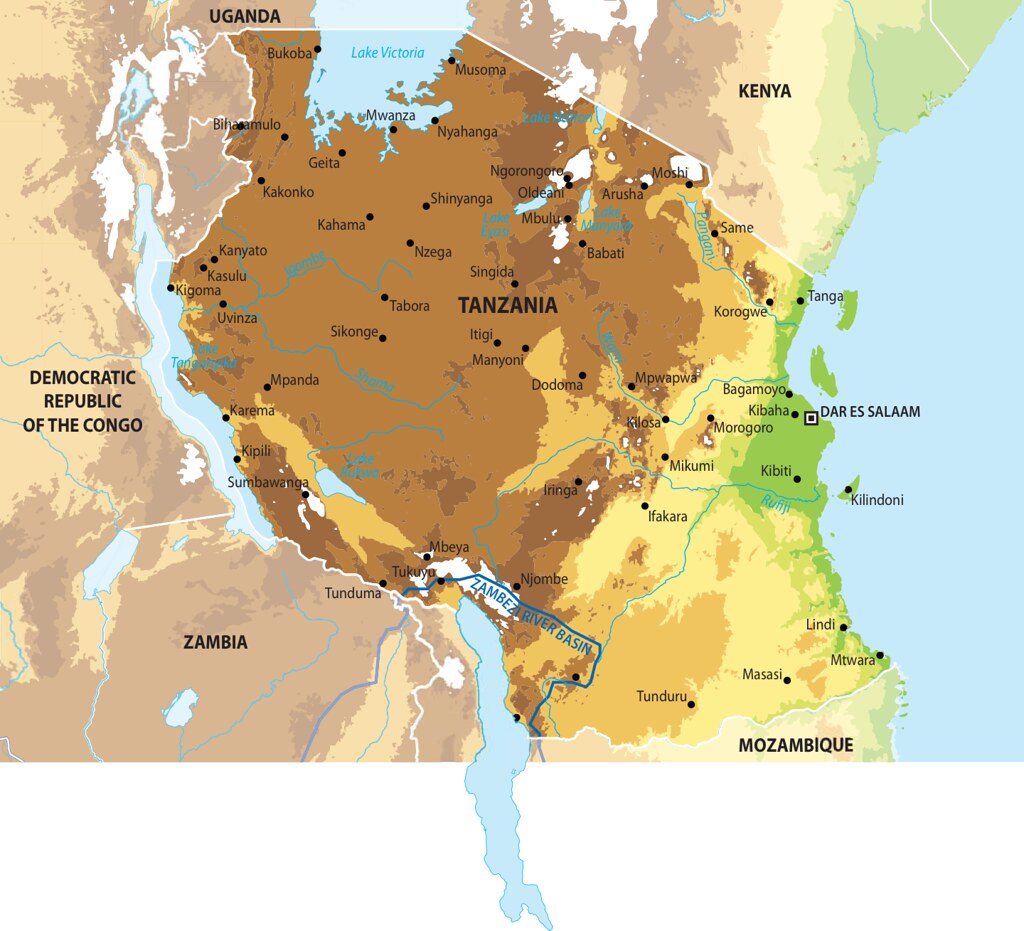
Total Area of Country: 945 087 sq km Portion of Country within Zambezi Basin: 27 300 (2.9%) National Population in 2010: 42 million Portion of National Population within Zambezi Basin: 1 646 400 (03.92%) The United Republic of Tanzania, made up of mainland Tanganyika and the islands of Zanzibar, is surrounded by several large bodies of water including 1 300 km of coastline on the Indian Ocean and 2 375 km of shoreline along Africa’s three largest lakes: Tanganyika, Victoria, and Nyasa (UNEP 2008). The economy is based on agriculture, which accounts for more than half of GDP, provides 75% of exports, and employs about 75% of the workforce. The major limitation for cultivation is topography and climate. Tourism is another significant contributor to GDP, as is the mining sector.
Year: 2013
From collection: Zambezi River Basin - Atlas of the changing Environment
Cartographer: This