We use cookies to imporve your experience. By using our site, you consent to our cookie policy Learn more
arrow arrow_up breadcrumb-chevron-right breadcrumb-home dropdown-arrow-down loader GALogoWUNEP GALogo2018 GALogo2019 menu read-more-plus rrss-email rrss-facebook rrss-flickr rrss-instagram rrss-linkedin rrss-twitter rrss-vimeo rrss-youtube rrss_google_plus rrss_skype rrss_web pdf search share Completed In Process Ideas In Develpment Toogle Toogle Thumbnail View List View play close filter-collapse filter edit media_photo_library media_video_library graphics pictures videos collections next

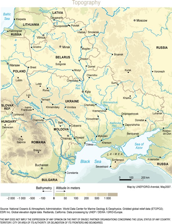
Belarus, Moldova and Ukraine, topography

Eastern Europe extends from the northern shore of the Black Sea in Ukraine up to the Baltic Sea basin in Belarus. It covers 845,000 square kilometres and is home to almost 60 million people. These nations share common borders, watersheds, and infrastructure and have many similarities in their geography, history, culture and economy.

Year: 2005

From collection: Topographic maps

Cartographer: Viktor Novikov, UNEP/GRID-Arendal

Tags: topographic maps

Graphics included in same album

View all media