We use cookies to imporve your experience. By using our site, you consent to our cookie policy Learn more
arrow arrow_up breadcrumb-chevron-right breadcrumb-home dropdown-arrow-down loader GALogoWUNEP GALogo2018 GALogo2019 menu read-more-plus rrss-email rrss-facebook rrss-flickr rrss-instagram rrss-linkedin rrss-twitter rrss-vimeo rrss-youtube rrss_google_plus rrss_skype rrss_web pdf search share Completed In Process Ideas In Develpment Toogle Toogle Thumbnail View List View play close filter-collapse filter edit media_photo_library media_video_library graphics pictures videos collections next

Poverty mapping study area

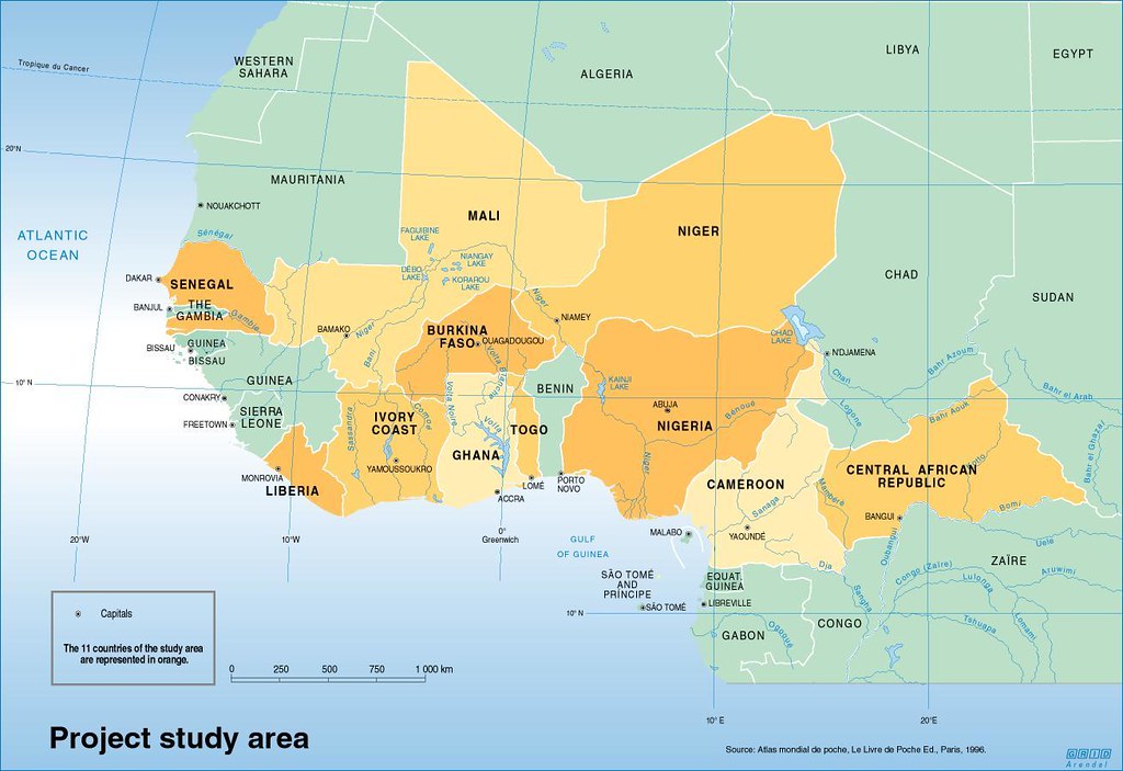
This map represents the study area for the poverty mapping project for West Africa for generation of reliable statistical and cartographic products to communicate the relationship between rural poverty and land use potential in West Africa, in order to provide information to ensure optimal use of research investment.

Year: 2005

From collection: Mapping indicators of poverty in West Africa

Cartographer: Emmanuelle Bournay, Philippe Rekacewicz

Tags: West Africa

Graphics included in same album

View all media